


EDUCATION - PUBLIC COURSES - SEMINAR SERIES
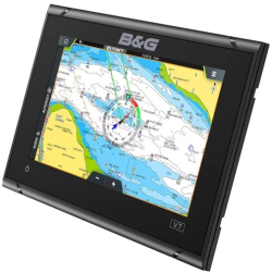
How to Use a GPS Chartplotter
How to Use a GPS Chartplotter
You have a GPS or
chart plotter on your
boat, but do you really
know how it works or
what it can or can't do?
chart plotter on your
boat, but do you really
know how it works or
what it can or can't do?
Afterwards, you should be able to:
Select and use GPS devices
Know where you are and where you are going
Apply GPS to your navigation needs
Select and use GPS devices
Know where you are and where you are going
Apply GPS to your navigation needs
This seminar explains:
How to use waypoints
How to build and execute routes
How to monitor progress
How to interpret location and tracking data
How GPS integrates with VHF radio
How to arrange your display
How to select features
and much more
How to use waypoints
How to build and execute routes
How to monitor progress
How to interpret location and tracking data
How GPS integrates with VHF radio
How to arrange your display
How to select features
and much more
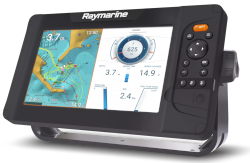
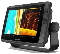
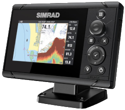
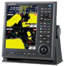
GPS has become a common tool for navigation. However using GPS on the water is distinctly different from a moving map display in your car.
No matter what brand you choose,
No matter what size screen,
No matter what button/control layout,
No matter what charts are loaded,
The functions will be similar and
you will understand what you are
seeing and what they can do.
No matter what size screen,
No matter what button/control layout,
No matter what charts are loaded,
The functions will be similar and
you will understand what you are
seeing and what they can do.